NullCad
A 2D CAD application for cadastral surveying. Search, boundary model, reinstatement and drafting live in one document, over an operation log that records how the plan reached its current state.
The whole job in one document.
Search plans, imagery, the boundary model and the drafting sit in the same file, in the projection the job was measured in. The status bar keeps the datum, zone and scale in view rather than behind a dialog.
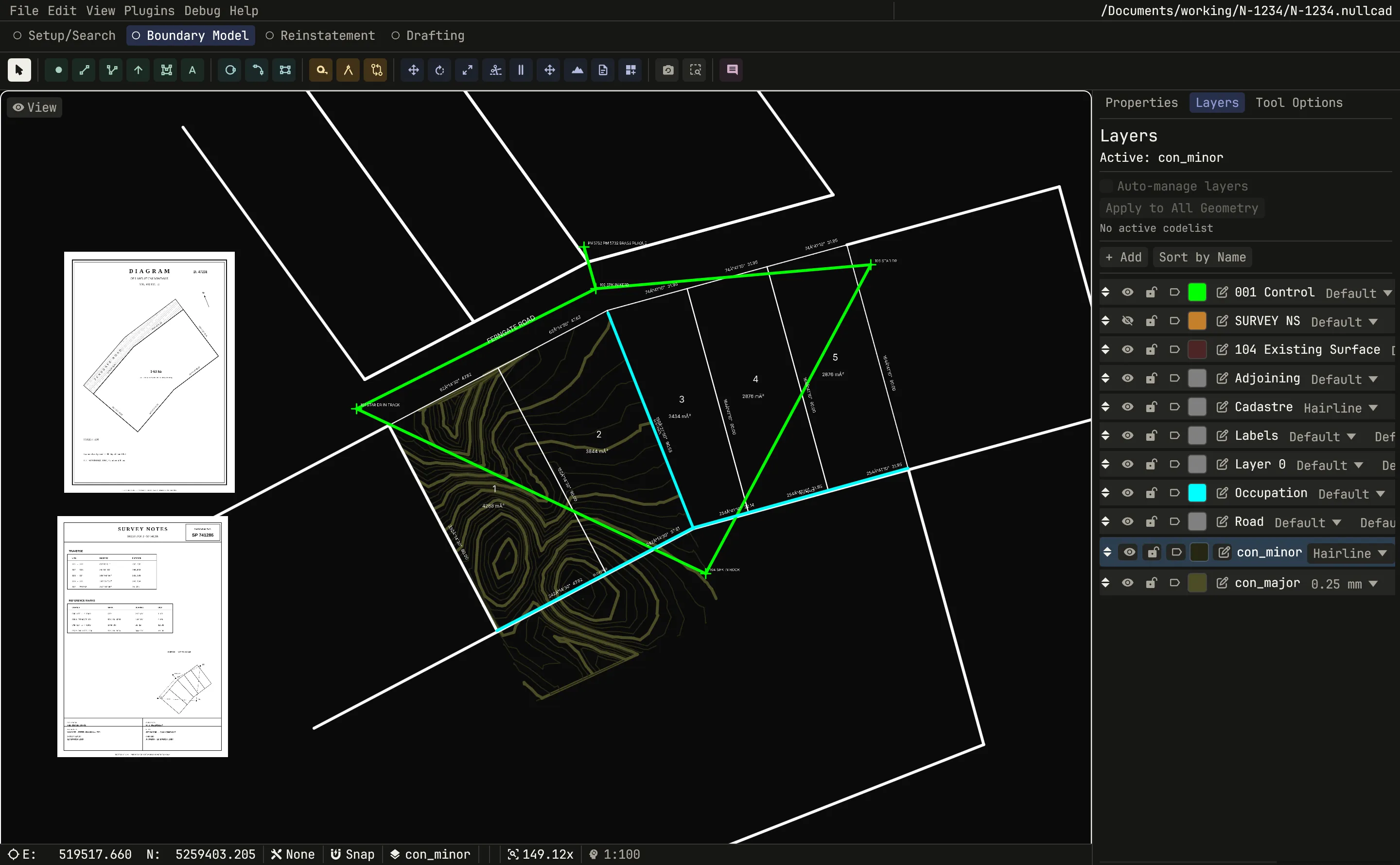
- Phase based workflow
- Setup: your virtual desk, layout your plans and other documents. Boundary Model: Build your model from the plans. Reinstatement: Your final geometry and calcs. Drafting: Your sheets and viewports, organised your way.
- Grid first
- Keep your data in the projection it was measured in. No transformations required; a global CSF allows for dynamic grid-to-ground conversions.
- Precision and speed
- Full 64-bit precision calculations with a custom renderer that draws hundreds of thousands of objects. All geometry is stored in a R*-tree spatial index for immediate selection even in large documents.
- Documented by default
- All geometry comes standard with name, code, and description fields. Every edit is an operation in a log that saves with the document. This means every modification can be checked and audited.
- Project organisation
- Keep all your plans and documents with your data, spatially organised. Drop PDFs and images directly into the viewport, lay them out as you would on a desk.
- Drafting
- Drop your pages wherever you want them, viewports bring in views where you need them. Custom complex linetypes allow for text and shapes within a linetype.
Native support for Shapefile, DXF, GeoJSON and CSV import/export.